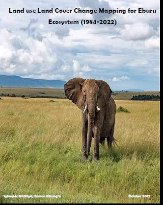
The Eburu Ecosystem Land Cover Change Mapping (LCC) Program aims to create a sustainable and technically rigorous process for providing land cover and change information required for Land Degradation and Restoration by the Intergovernmental Science-Policy Platform on Biodiversity and Ecosystem Services (IPBES) to inform the BESNet Solution Fund interventions on the ecosystem.
The focus of this is on providing the ecosystem`s, time series consistent, land cover maps for Kenya in the years 1984, 2000, 2010, 2015 and 2022. The maps will allow for analysis of land cover and cover change through time. In addition, the maps and statistics produced will serve as official documents for informing land use planning, tracking deforestation, and landscape restoration.
O
