Kenya Wetlands Atlas
The Kenya Wetlands Atlas provides visual evidence of the extent and severity of the changes taking place in Kenya’s wetlands spanning thirty years, mostly occasioned by intense detrimental human activities. The Atlas is the first major publication depicting the dynamics in Kenya’s wetlands using satellite imagery. The sitespecific, side-by-side display of “before and after” satellite images show different kinds of changes in wetland ecosystems all over the country
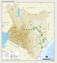
such as: agricultural encroachment; urban growth into wetland areas; altered hydrology (dams, shrinking lakes, river diversions, and drained wetlands); modified and degraded coastal areas; and the impacts of climate change. The satellite images and the story lines are supported by graphs, maps, and photographs to provide complete and compelling scientific evidence. It is important to note that the different sites highlighted by the change pairs in the Atlas only serve as examples to illustrate that degradation and loss of Kenya’s wetland ecosystems is a widespread problem that needs to be urgently
addressed.

